Plot Mark Coming soon
Council-ready plans, drawn on your phone.
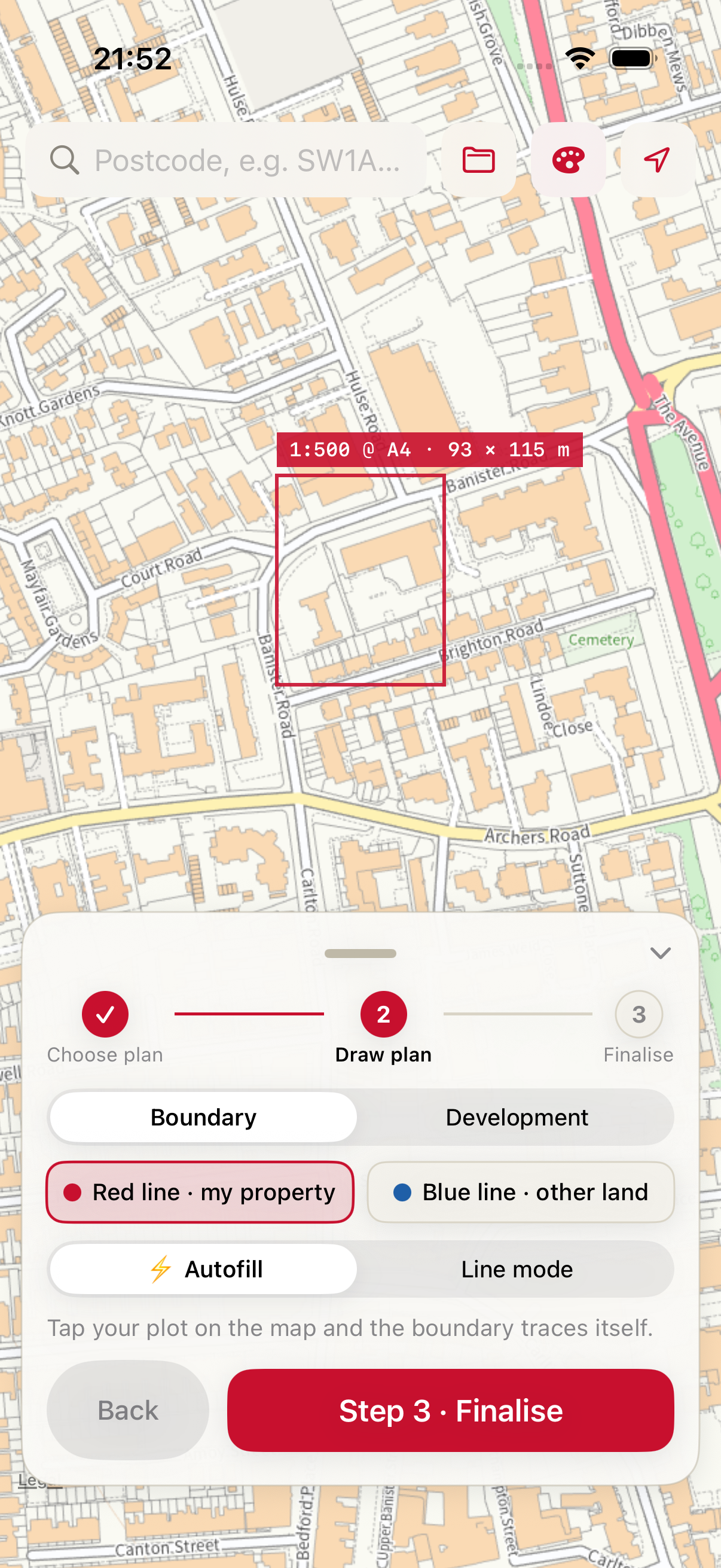
Block plans and location plans for planning applications in minutes: type your address, watch the red line trace your property from Ordnance Survey data, and export a true-scale PDF from £9.99.
What it is
Every planning application needs a block plan or a location plan, and most people end up paying a website they will never use again. Plot Mark does the whole job on your phone: type your address and the red line traces your legal plot boundary straight from Ordnance Survey data, accurate to centimetres. Adjust it with a drag, add proposed extensions, labels and measured lines, and preview the exact sheet free before you pay.
Every plan prints at true scale with a scale bar, north point, grid reference and plan number, on the live OS MasterMap successor data councils expect. Twelve months of free re-exports are included with every purchase.
At a glance
- One-tap boundary trace from OS data
- Centimetre-accurate OSTN15 mapping
- Red line, blue line, shapes and labels
- True-scale A4 and A3 PDF sheets
- Free preview before every purchase
- Block plans £9.99 · bundles £14.99